Posts for: argusfoto
Jan 14, 2013 19:43:26 #
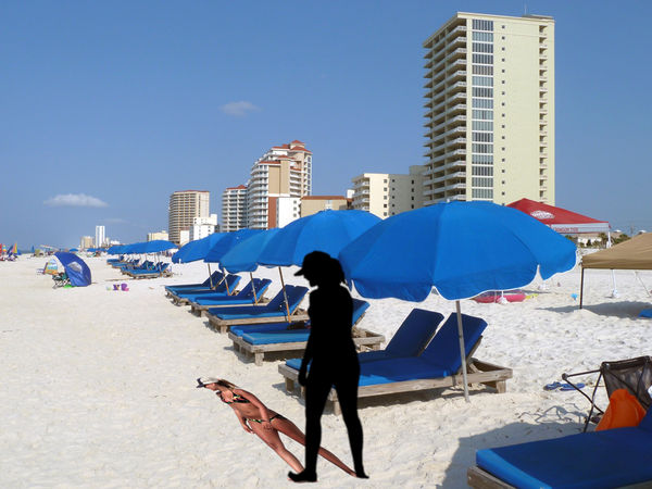
I saw a video on drop shadows but I am not sure if I am doing it right. ;-)
Beach Drop shadow
Jan 14, 2013 19:38:29 #
That is called a Harris shutter effect. I have done them but forgot how. Old age I guess. I used I believe I reduced the opacity of each image to 33%. Things that don't move will be natural color. Here are a couple of examples.
http://www.flickr.com/photos/argusfoto/170847527/
http://www.flickr.com/photos/argusfoto/2165088038/
There is a group on Flickr:
http://www.flickr.com/groups/harrisshuttereffect/pool/with/2165088038/#photo_2165088038
http://www.flickr.com/photos/argusfoto/170847527/
http://www.flickr.com/photos/argusfoto/2165088038/
There is a group on Flickr:
http://www.flickr.com/groups/harrisshuttereffect/pool/with/2165088038/#photo_2165088038
Nov 26, 2012 13:02:13 #
Even if the airplane window is clean, it is necessary to use Photoshop to increase contrast. The location is always manual from a jet plane. The time stamp is a big help in determining the location. From 30K ft you can see about 60 miles so it can be a challenge.
If you have a camera like the Panasonic Lumix ZS7 which has built in GPS or Nikon 1 V1 which has a GPS attachment, the info is in the EXIF data and is automatic on Smugmug.
a couple of examples:
http://wallyworld.smugmug.com/Travel/Spain/Torremolinos-Spain-15-22-Oct/26340909_rrpbXS#!i=2202868973&k=TZbxHKV
http://wallyworld.smugmug.com/Travel/Portugal/Lisbon-Portugal/14315979_2v297P#!i=1059369925&k=nRTvgMC
I wish my 60D had built in GPS
Nov 26, 2012 09:31:18 #
Even though this is getting somewhat off topic, map freaks should check out http://bigthink.com/blogs/strange-maps
Now let's get back to photography.
Now let's get back to photography.
Nov 26, 2012 08:52:43 #
You are right. I should know better. "Tal" is German for valley. Although it is a tall bridge. ;-)
Being accurate is not picky.
Being accurate is not picky.
Nov 25, 2012 23:17:45 #
Unfortunately, GPS does not work when you are going more than 300mph. ;-)
You will appreciate this, Botann.
We had clear weather all the way from Birmingham to NY. I took many pictures and located them on Google maps. Click "map this" upper right to see where they are.
http://wallyworld.smugmug.com/Travel/United-States/BHM-to-LGA-and-back/10548896_2wqZb5#!i=732619437&k=PRou3
Nov 22, 2012 12:33:24 #
Nikon DX AF-S NIKKOR 18-55 1:3.5-5.6G $100
Nikon DX AF-S NIKKOR 55-200 1.4-5.6G ED $150
Like new but no boxes
S&H $15 for one lens or $20 for both
Nikon DX AF-S NIKKOR 55-200 1.4-5.6G ED $150
Like new but no boxes
S&H $15 for one lens or $20 for both
Nov 21, 2012 12:26:48 #
Nov 21, 2012 09:05:09 #
Never mind. I found it. It is the Moseltalbrucke or Mosel tall bridge over the Mosel river, Dieblick, Germany.
Nov 20, 2012 14:07:34 #
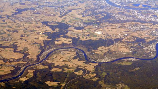
We were on a flight from Paris to Warsaw which is just over two hours flight time. This was taken 30-45 minutes after take off. I was sitting on the left side of the plane so this is looking north. I am trying to identify the bridge. Obviously, I have increased the contrast with Photoshop. Any help would be appreciated. Thanks
Bridge
Aug 25, 2012 15:16:25 #
The rechargeable batteries seem to last longer. My largest one was 150 images.
I have a gigapan unit too. Works great though a battery hog! I need to get an external power source when I take 300 plus shots for extremely large panos. It always is a nail biter if it will have enough power to take the
Sat dozen or two shots.[/quote]
I have a gigapan unit too. Works great though a battery hog! I need to get an external power source when I take 300 plus shots for extremely large panos. It always is a nail biter if it will have enough power to take the
Sat dozen or two shots.[/quote]
Aug 25, 2012 12:29:59 #
Actually, AutoPano Giga did all the work. I just take the credit. ;-)
Aug 25, 2012 12:15:59 #
I don't know about the skier but mine is 40 images taken with a gigapan and then 11 more of the plane taking off.
Aug 25, 2012 07:36:34 #
Here is one I took of a Southwest plane taking off at BHM
Southwest-BHN

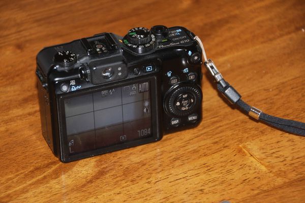
Jun 8, 2012 20:48:19 #
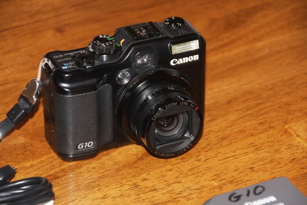
I bought the G10 about 3 years ago to use with my Gigapan. I just bought a Nikon 1 V! which is about the same size. I also have a CD with software. Forgot to photograph it.
G10
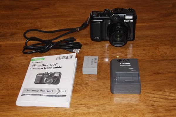
G10
G10