Cambodia: Siem Reap Part 16 - Angkor Street Scenes
Jan 25, 2023 13:58:47 #

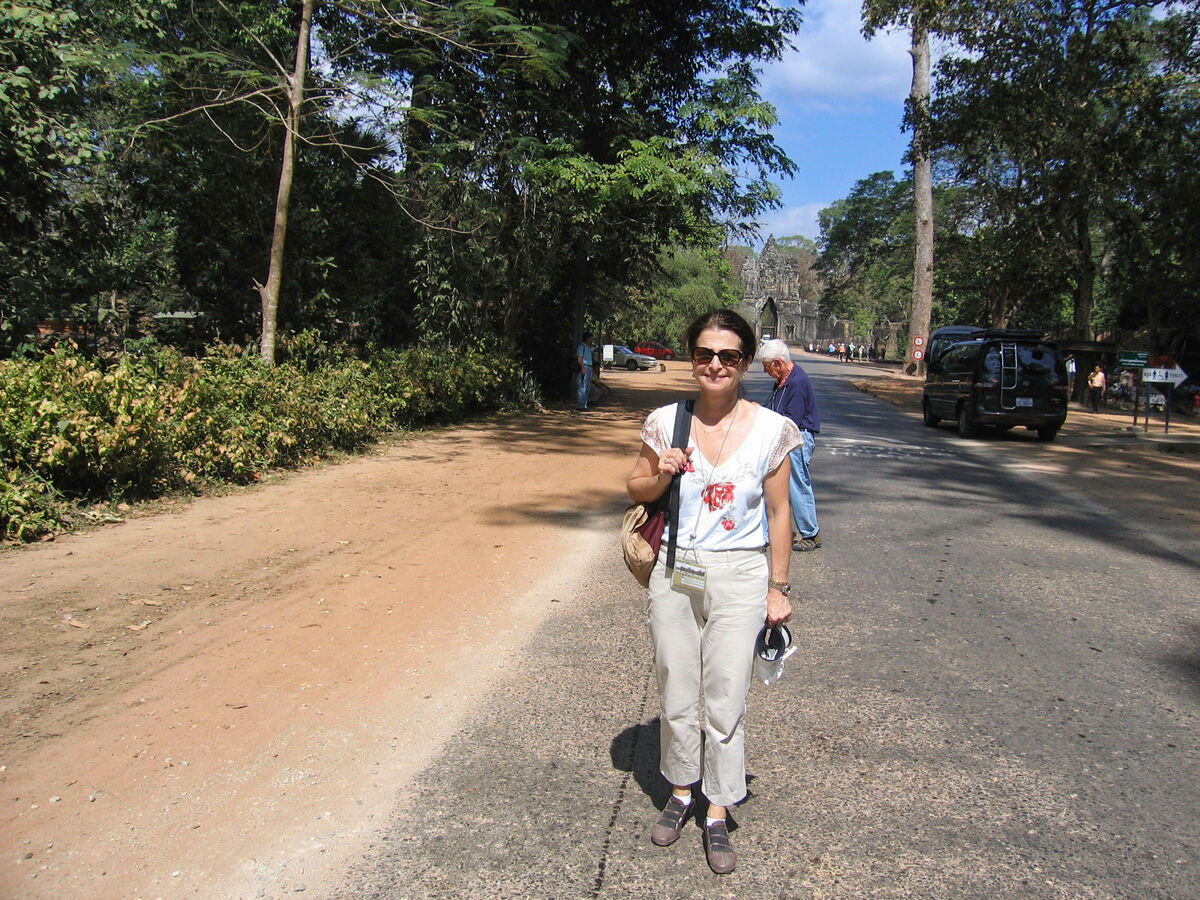
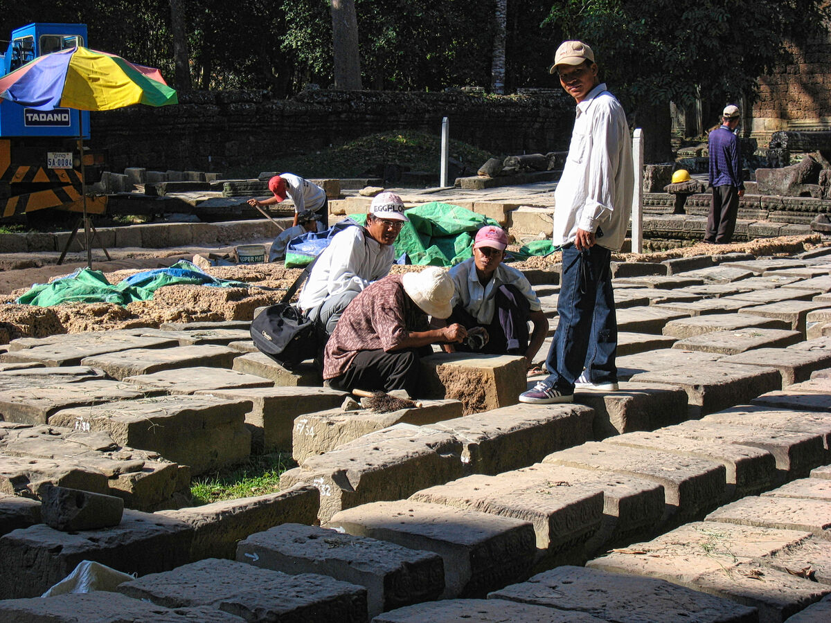
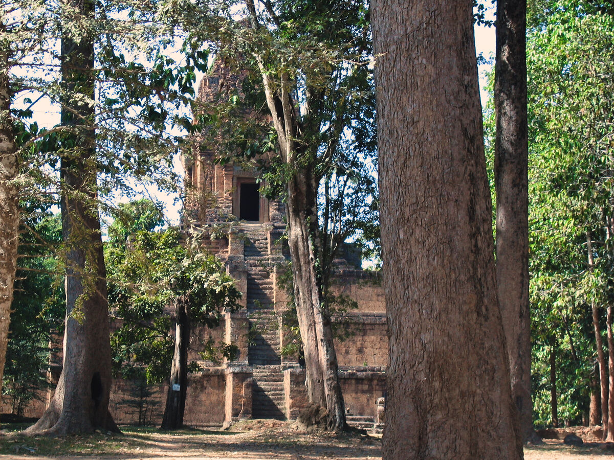
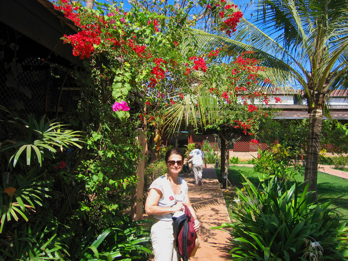
Here are some images of the town of Angkor which we passed through and stopped in for some shopping. Images 3-9 were taken through the tour bus window.
Angkor (Khmer: អង្គរ [ʔɑŋkɔː], lit. 'Capital city'), also known as Yasodharapura (Khmer: យសោធរបុរ) was the capital city of the Khmer Empire. The city and empire flourished from approximately the 9th to the 15th centuries. The city houses the Angkor Wat, one of Cambodia's most popular tourist attractions.
The name Angkor is derived from nokor (នគរ), a Khmer word meaning "kingdom" which in turn derived from Sanskrit nagara (नगर), meaning "city". The Angkorian period began in AD 802, when the Khmer Hindu monarch Jayavarman II declared himself a "universal monarch" and "god-king", and lasted until the late 14th century, first falling under Ayutthayan suzerainty in 1351. A Khmer rebellion against Siamese authority resulted in the 1431 sacking of Angkor by Ayutthaya, causing its population to migrate south to Longvek.
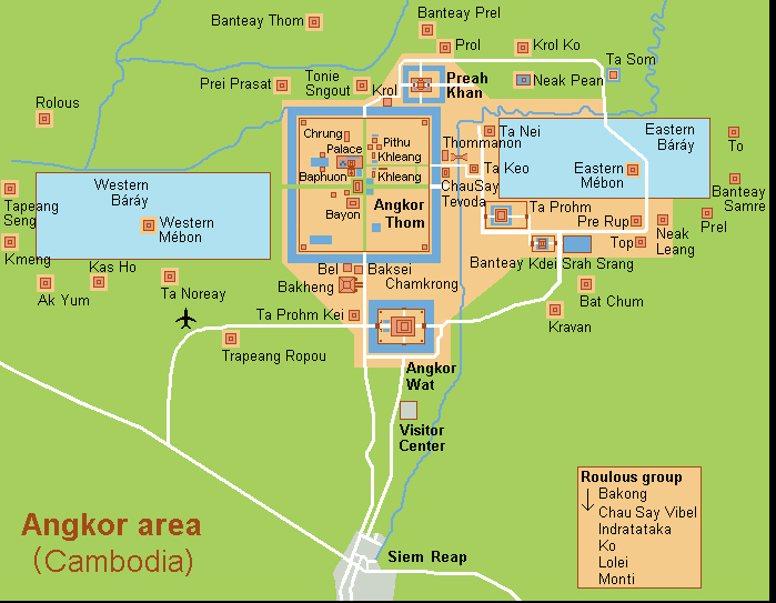
The ruins of Angkor are located amid forests and farmland north of the Great Lake (Tonlé Sap) and south of the Kulen Hills, near modern-day Siem Reap city (13°24′N, 103°51′E), in Siem Reap Province. The temples of the Angkor area number over one thousand, ranging in scale from nondescript piles of brick rubble scattered through rice fields to the Angkor Wat, said to be the world's largest single religious monument. Many of the temples at Angkor have been restored, and together, they comprise the most significant site of Khmer architecture. Visitors approach two million annually, and the entire expanse, including Angkor Wat and Angkor Thom is collectively protected as a UNESCO World Heritage Site. The popularity of the site among tourists presents multiple challenges to the preservation of the ruins.
In 2007, an international team of researchers using satellite photographs and other modern techniques concluded that Angkor had been the largest pre-industrial city in the world, with an elaborate infrastructure system connecting an urban sprawl of at least 1,000 square kilometres (390 sq mi) to the well-known temples at its core. Angkor is considered to be a "hydraulic city" because it had a complicated water management network, which was used for systematically stabilizing, storing, and dispersing water throughout the area. This network is believed to have been used for irrigation in order to offset the unpredictable monsoon season and to also support the increasing population. Although the size of its population remains a topic of research and debate, newly identified agricultural systems in the Angkor area may have supported between 750,000 and one million people.
Historical overview
Seat of the Khmer Empire
The Angkorian period may have begun shortly after 800 AD, when the Khmer King Jayavarman II announced the independence of Kambujadesa (Cambodia) from Java. According to Sdok Kok Thom inscription, circa 781 Indrapura was the first capital of Jayavarman II, located in Banteay Prei Nokor, near today's Kompong Cham. After he eventually returned to his home, the former kingdom of Chenla, he quickly built up his influence, conquered a series of competing kings, and in 790 became king of a kingdom called Kambuja by the Khmer. He then moved his court northwest to Mahendraparvata, in present day Kulen mountains, far inland north from the great lake of Tonle Sap.
He also established the city of Hariharalaya (now known as Roluos) at the northern end of Tonlé Sap. Through a program of military campaigns, alliances, marriages and land grants, he achieved a unification of the country bordered by China to the north, Champa (now Central Vietnam) to the east, the ocean to the south and a place identified by a stone inscription as "the land of cardamoms and mangoes" to the west. In 802, Jayavarman articulated his new status by declaring himself "universal monarch" (chakravartin) and, in a move that was to be imitated by his successors and that linked him to the cult of Siva, taking on the epithet of "god-king" (devaraja). Before Jayavarman, Cambodia had consisted of a number of politically independent principalities collectively known to the Chinese by the names Funan and Chenla.
In 889, Yasovarman ascended to the throne. A great king and an accomplished builder, he was celebrated by one inscription as "a lion-man; he tore the enemy with the claws of his grandeur; his teeth were his policies; his eyes were the Veda." Near the old capital of Hariharalaya, Yasovarman constructed a new city, called Yasodharapura. In the tradition of his predecessors, he also constructed a massive reservoir called baray.
The significance of such reservoirs has been debated by modern scholars, some of whom have seen in them a means of irrigating rice fields, and others of whom have regarded them as religiously charged symbols of the great mythological oceans surrounding Mount Meru, the abode of the gods. The mountain, in turn, was represented by an elevated temple, in which the "god-king" was represented by a lingam. In accordance with this cosmic symbolism, Yasovarman built his central temple on a low hill known as Phnom Bakheng, surrounding it with a moat fed from the baray. He also built numerous other Hindu temples and ashrams, or retreats for ascetics.
Over the next 300 years, between 900 and 1200, the Khmer Empire produced some of the world's most magnificent architectural masterpieces in the area known as Angkor. Most are concentrated in an area approximately 15 miles (24 km) east to west and 5 miles (8.0 km) north to south, although the Angkor Archaeological Park, which administers the area, includes sites as far away as Kbal Spean, about 30 miles (48 km) to the north. Some 72 major temples or other buildings are found within this area, and the remains of several hundred additional minor temple sites are scattered throughout the landscape beyond.
Because of the low-density and dispersed nature of the medieval Khmer settlement pattern, Angkor lacks a formal boundary, and its extent is therefore difficult to determine. However, a specific area of at least 1,000 km2 (390 sq mi) beyond the major temples is defined by a complex system of infrastructure, including roads and canals that indicate a high degree of connectivity and functional integration with the urban core. In terms of spatial extent (although not in terms of population), this makes it the largest urban agglomeration in recorded history prior to the Industrial Revolution, easily surpassing the nearest claim by the Mayan city of Tikal. At its peak, the city occupied an area greater than modern Paris, and its buildings use far more stone than all of the Egyptian structures combined.
Construction of Angkor Wat
The principal temple of the Angkorian region, Angkor Wat, was built between 1113 and 1150 by King Suryavarman II. Suryavarman ascended to the throne after prevailing in a battle with a rival prince. An inscription says that, in the course of combat, Suryavarman leapt onto his rival's war elephant and killed him, just as the mythical bird-man Garuda slays a serpent.
After consolidating his political position through military campaigns, diplomacy, and a firm domestic administration, Suryavarman launched into the construction of Angkor Wat as his personal temple mausoleum. Breaking with the tradition of the Khmer kings, and influenced perhaps by the concurrent rise of Vaisnavism in India, he dedicated the temple to Vishnu rather than to Siva. With walls nearly half a mile long on each side, Angkor Wat grandly portrays the Hindu cosmology, with the central towers representing Mount Meru, home of the gods; the outer walls, the mountains enclosing the world; and the moat, the oceans beyond.
The traditional theme of identifying the Khmer devaraja with the gods, and his residence with that of the celestials, is very much in evidence. The measurements themselves of the temple and its parts in relation to one another have cosmological significance. Suryavarman had the walls of the temple decorated with bas reliefs depicting not only scenes from mythology, but also from the life of his own imperial court. In one of the scenes, the king himself is portrayed as larger in size than his subjects, sitting cross-legged on an elevated throne and holding court, while a bevy of attendants make him comfortable with the aid of parasols and fans.
The end of the Angkorian period is generally set as 1431, the year Angkor was sacked and looted by Ayutthaya invaders, though the civilization already had been in decline in the 13th and 14th centuries. During the course of the 15th century, nearly all of Angkor was abandoned, except for Angkor Wat, which remained a Buddhist shrine. Several theories have been advanced to account for the decline and abandonment of Angkor.
Scholars attempting to account for the rapid decline and abandonment of Angkor have hypothesized natural disasters such as disease (Bubonic Plague), earthquakes, inundations, or drastic climate changes as the relevant agents of destruction. A study of tree rings in Vietnam produced a record of early monsoons that passed through this area. From this study, we can tell that during the 14th–15th centuries monsoons were weakened and eventually followed by extreme flooding. Their inability to adapt their flooding infrastructure may have led to its eventual decline.
Recent research by Australian archaeologists suggests that the decline may have been due to a shortage of water caused by the transition from the Medieval Warm Period to the Little Ice Age. LDEO dendrochronological research has established tree-ring chronologies indicating severe periods of drought across mainland Southeast Asia in the early 15th century, raising the possibility that Angkor's canals and reservoirs ran dry and ended expansion of available farmland.
Looting has been an ever-growing threat to the Angkor archaeological landscape. According to APSARA, the official Cambodian agency charged with overseeing the management of Angkor, "vandalism has multiplied at a phenomenal rate, employing local populations to carry out the actual thefts, heavily armed intermediaries transport objects, often in tanks or armored personnel carriers, often for sale across the Cambodian border.
The increasing number of tourists, around two million per year, exerts pressure on the archaeological sites at Angkor by walking and climbing on the (mostly) sandstone monuments at Angkor. This direct pressure created by unchecked tourism is expected to cause significant damage to the monuments in the future.
In sites such as Angkor, tourism is inevitable. Therefore, the site management team cannot exclusively manage the site. The team has to manage the flow of people. Millions of people visit Angkor each year, making the management of this flow vital to the quickly decaying structures. Western tourism to Angkor began in the 1970s. The sandstone monuments and Angkor are not made for this type of heightened tourism.
Moving forward, UNESCO and local authorities at the site are in the process of creating a sustainable plan for the future of the site. Since 1992, UNESCO has moved towards conserving Angkor. Thousands of new archaeological sites have been discovered by UNESCO, and the organization has moved towards protected cultural zones. Two decades later, over 1000 people are employed full-time at the site for cultural sensitivity reasons. Part of this movement to limit the impacts of tourism has been to only open certain areas of the site.
However, much of the 1992 precautionary measures and calls for future enforcement have fallen through. Both globally and locally the policy-making has been successful, but the implementation has failed for several reasons. First, there are conflicts of interest in Cambodia. While the site is culturally important to them, Cambodia is a poor country. Its GDP is marginally larger than Afghanistan's.
Tourism is a vital part to the Cambodian economy, and shutting down parts of Angkor, the largest tourist destination in the country, is not an option. A second reason stems from the government's inability to organize around the site. The Cambodian government has failed in organizing a robust team of cultural specialists and archaeologists to service the site.
https://en.wikipedia.org/wiki/Angkor
For more images of Siem Reap and narratives, please see my previous posts:
https://www.uglyhedgehog.com/t-760858-1.html#13633063
https://www.uglyhedgehog.com/t-761100-1.html#13638505
https://www.uglyhedgehog.com/t-761169-1.html
https://www.uglyhedgehog.com/t-761242-1.html
https://www.uglyhedgehog.com/t-761379-1.html
https://www.uglyhedgehog.com/t-761630-1.html
https://www.uglyhedgehog.com/t-761797-1.html#13655239
https://www.uglyhedgehog.com/t-761937-1.html
https://www.uglyhedgehog.com/t-762169-1.html
https://www.uglyhedgehog.com/t-762322-1.html#13669002
https://www.uglyhedgehog.com/t-762482-1.html#13672574
https://www.uglyhedgehog.com/t-762732-1.html#13678195 (Angkor Thom and Bayon)
https://www.uglyhedgehog.com/t-762905-1.html#13681713 (Bayon)
https://www.uglyhedgehog.com/t-763066-1.html (Bayon)
I hope you enjoy these!
Mark
Angkor (Khmer: អង្គរ [ʔɑŋkɔː], lit. 'Capital city'), also known as Yasodharapura (Khmer: យសោធរបុរ) was the capital city of the Khmer Empire. The city and empire flourished from approximately the 9th to the 15th centuries. The city houses the Angkor Wat, one of Cambodia's most popular tourist attractions.
The name Angkor is derived from nokor (នគរ), a Khmer word meaning "kingdom" which in turn derived from Sanskrit nagara (नगर), meaning "city". The Angkorian period began in AD 802, when the Khmer Hindu monarch Jayavarman II declared himself a "universal monarch" and "god-king", and lasted until the late 14th century, first falling under Ayutthayan suzerainty in 1351. A Khmer rebellion against Siamese authority resulted in the 1431 sacking of Angkor by Ayutthaya, causing its population to migrate south to Longvek.
The ruins of Angkor are located amid forests and farmland north of the Great Lake (Tonlé Sap) and south of the Kulen Hills, near modern-day Siem Reap city (13°24′N, 103°51′E), in Siem Reap Province. The temples of the Angkor area number over one thousand, ranging in scale from nondescript piles of brick rubble scattered through rice fields to the Angkor Wat, said to be the world's largest single religious monument. Many of the temples at Angkor have been restored, and together, they comprise the most significant site of Khmer architecture. Visitors approach two million annually, and the entire expanse, including Angkor Wat and Angkor Thom is collectively protected as a UNESCO World Heritage Site. The popularity of the site among tourists presents multiple challenges to the preservation of the ruins.
In 2007, an international team of researchers using satellite photographs and other modern techniques concluded that Angkor had been the largest pre-industrial city in the world, with an elaborate infrastructure system connecting an urban sprawl of at least 1,000 square kilometres (390 sq mi) to the well-known temples at its core. Angkor is considered to be a "hydraulic city" because it had a complicated water management network, which was used for systematically stabilizing, storing, and dispersing water throughout the area. This network is believed to have been used for irrigation in order to offset the unpredictable monsoon season and to also support the increasing population. Although the size of its population remains a topic of research and debate, newly identified agricultural systems in the Angkor area may have supported between 750,000 and one million people.
Historical overview
Seat of the Khmer Empire
The Angkorian period may have begun shortly after 800 AD, when the Khmer King Jayavarman II announced the independence of Kambujadesa (Cambodia) from Java. According to Sdok Kok Thom inscription, circa 781 Indrapura was the first capital of Jayavarman II, located in Banteay Prei Nokor, near today's Kompong Cham. After he eventually returned to his home, the former kingdom of Chenla, he quickly built up his influence, conquered a series of competing kings, and in 790 became king of a kingdom called Kambuja by the Khmer. He then moved his court northwest to Mahendraparvata, in present day Kulen mountains, far inland north from the great lake of Tonle Sap.
He also established the city of Hariharalaya (now known as Roluos) at the northern end of Tonlé Sap. Through a program of military campaigns, alliances, marriages and land grants, he achieved a unification of the country bordered by China to the north, Champa (now Central Vietnam) to the east, the ocean to the south and a place identified by a stone inscription as "the land of cardamoms and mangoes" to the west. In 802, Jayavarman articulated his new status by declaring himself "universal monarch" (chakravartin) and, in a move that was to be imitated by his successors and that linked him to the cult of Siva, taking on the epithet of "god-king" (devaraja). Before Jayavarman, Cambodia had consisted of a number of politically independent principalities collectively known to the Chinese by the names Funan and Chenla.
In 889, Yasovarman ascended to the throne. A great king and an accomplished builder, he was celebrated by one inscription as "a lion-man; he tore the enemy with the claws of his grandeur; his teeth were his policies; his eyes were the Veda." Near the old capital of Hariharalaya, Yasovarman constructed a new city, called Yasodharapura. In the tradition of his predecessors, he also constructed a massive reservoir called baray.
The significance of such reservoirs has been debated by modern scholars, some of whom have seen in them a means of irrigating rice fields, and others of whom have regarded them as religiously charged symbols of the great mythological oceans surrounding Mount Meru, the abode of the gods. The mountain, in turn, was represented by an elevated temple, in which the "god-king" was represented by a lingam. In accordance with this cosmic symbolism, Yasovarman built his central temple on a low hill known as Phnom Bakheng, surrounding it with a moat fed from the baray. He also built numerous other Hindu temples and ashrams, or retreats for ascetics.
Over the next 300 years, between 900 and 1200, the Khmer Empire produced some of the world's most magnificent architectural masterpieces in the area known as Angkor. Most are concentrated in an area approximately 15 miles (24 km) east to west and 5 miles (8.0 km) north to south, although the Angkor Archaeological Park, which administers the area, includes sites as far away as Kbal Spean, about 30 miles (48 km) to the north. Some 72 major temples or other buildings are found within this area, and the remains of several hundred additional minor temple sites are scattered throughout the landscape beyond.
Because of the low-density and dispersed nature of the medieval Khmer settlement pattern, Angkor lacks a formal boundary, and its extent is therefore difficult to determine. However, a specific area of at least 1,000 km2 (390 sq mi) beyond the major temples is defined by a complex system of infrastructure, including roads and canals that indicate a high degree of connectivity and functional integration with the urban core. In terms of spatial extent (although not in terms of population), this makes it the largest urban agglomeration in recorded history prior to the Industrial Revolution, easily surpassing the nearest claim by the Mayan city of Tikal. At its peak, the city occupied an area greater than modern Paris, and its buildings use far more stone than all of the Egyptian structures combined.
Construction of Angkor Wat
The principal temple of the Angkorian region, Angkor Wat, was built between 1113 and 1150 by King Suryavarman II. Suryavarman ascended to the throne after prevailing in a battle with a rival prince. An inscription says that, in the course of combat, Suryavarman leapt onto his rival's war elephant and killed him, just as the mythical bird-man Garuda slays a serpent.
After consolidating his political position through military campaigns, diplomacy, and a firm domestic administration, Suryavarman launched into the construction of Angkor Wat as his personal temple mausoleum. Breaking with the tradition of the Khmer kings, and influenced perhaps by the concurrent rise of Vaisnavism in India, he dedicated the temple to Vishnu rather than to Siva. With walls nearly half a mile long on each side, Angkor Wat grandly portrays the Hindu cosmology, with the central towers representing Mount Meru, home of the gods; the outer walls, the mountains enclosing the world; and the moat, the oceans beyond.
The traditional theme of identifying the Khmer devaraja with the gods, and his residence with that of the celestials, is very much in evidence. The measurements themselves of the temple and its parts in relation to one another have cosmological significance. Suryavarman had the walls of the temple decorated with bas reliefs depicting not only scenes from mythology, but also from the life of his own imperial court. In one of the scenes, the king himself is portrayed as larger in size than his subjects, sitting cross-legged on an elevated throne and holding court, while a bevy of attendants make him comfortable with the aid of parasols and fans.
The end of the Angkorian period is generally set as 1431, the year Angkor was sacked and looted by Ayutthaya invaders, though the civilization already had been in decline in the 13th and 14th centuries. During the course of the 15th century, nearly all of Angkor was abandoned, except for Angkor Wat, which remained a Buddhist shrine. Several theories have been advanced to account for the decline and abandonment of Angkor.
Scholars attempting to account for the rapid decline and abandonment of Angkor have hypothesized natural disasters such as disease (Bubonic Plague), earthquakes, inundations, or drastic climate changes as the relevant agents of destruction. A study of tree rings in Vietnam produced a record of early monsoons that passed through this area. From this study, we can tell that during the 14th–15th centuries monsoons were weakened and eventually followed by extreme flooding. Their inability to adapt their flooding infrastructure may have led to its eventual decline.
Recent research by Australian archaeologists suggests that the decline may have been due to a shortage of water caused by the transition from the Medieval Warm Period to the Little Ice Age. LDEO dendrochronological research has established tree-ring chronologies indicating severe periods of drought across mainland Southeast Asia in the early 15th century, raising the possibility that Angkor's canals and reservoirs ran dry and ended expansion of available farmland.
Looting has been an ever-growing threat to the Angkor archaeological landscape. According to APSARA, the official Cambodian agency charged with overseeing the management of Angkor, "vandalism has multiplied at a phenomenal rate, employing local populations to carry out the actual thefts, heavily armed intermediaries transport objects, often in tanks or armored personnel carriers, often for sale across the Cambodian border.
The increasing number of tourists, around two million per year, exerts pressure on the archaeological sites at Angkor by walking and climbing on the (mostly) sandstone monuments at Angkor. This direct pressure created by unchecked tourism is expected to cause significant damage to the monuments in the future.
In sites such as Angkor, tourism is inevitable. Therefore, the site management team cannot exclusively manage the site. The team has to manage the flow of people. Millions of people visit Angkor each year, making the management of this flow vital to the quickly decaying structures. Western tourism to Angkor began in the 1970s. The sandstone monuments and Angkor are not made for this type of heightened tourism.
Moving forward, UNESCO and local authorities at the site are in the process of creating a sustainable plan for the future of the site. Since 1992, UNESCO has moved towards conserving Angkor. Thousands of new archaeological sites have been discovered by UNESCO, and the organization has moved towards protected cultural zones. Two decades later, over 1000 people are employed full-time at the site for cultural sensitivity reasons. Part of this movement to limit the impacts of tourism has been to only open certain areas of the site.
However, much of the 1992 precautionary measures and calls for future enforcement have fallen through. Both globally and locally the policy-making has been successful, but the implementation has failed for several reasons. First, there are conflicts of interest in Cambodia. While the site is culturally important to them, Cambodia is a poor country. Its GDP is marginally larger than Afghanistan's.
Tourism is a vital part to the Cambodian economy, and shutting down parts of Angkor, the largest tourist destination in the country, is not an option. A second reason stems from the government's inability to organize around the site. The Cambodian government has failed in organizing a robust team of cultural specialists and archaeologists to service the site.
https://en.wikipedia.org/wiki/Angkor
For more images of Siem Reap and narratives, please see my previous posts:
https://www.uglyhedgehog.com/t-760858-1.html#13633063
https://www.uglyhedgehog.com/t-761100-1.html#13638505
https://www.uglyhedgehog.com/t-761169-1.html
https://www.uglyhedgehog.com/t-761242-1.html
https://www.uglyhedgehog.com/t-761379-1.html
https://www.uglyhedgehog.com/t-761630-1.html
https://www.uglyhedgehog.com/t-761797-1.html#13655239
https://www.uglyhedgehog.com/t-761937-1.html
https://www.uglyhedgehog.com/t-762169-1.html
https://www.uglyhedgehog.com/t-762322-1.html#13669002
https://www.uglyhedgehog.com/t-762482-1.html#13672574
https://www.uglyhedgehog.com/t-762732-1.html#13678195 (Angkor Thom and Bayon)
https://www.uglyhedgehog.com/t-762905-1.html#13681713 (Bayon)
https://www.uglyhedgehog.com/t-763066-1.html (Bayon)
I hope you enjoy these!
Mark
(Download)
(Download)
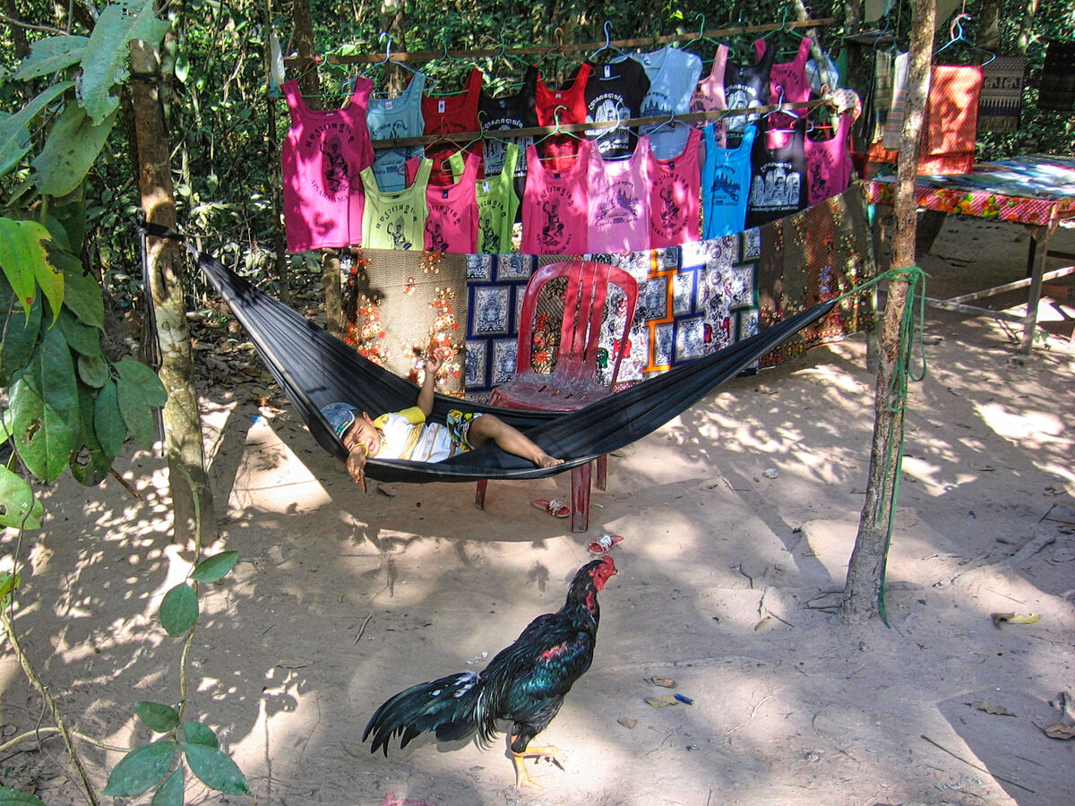
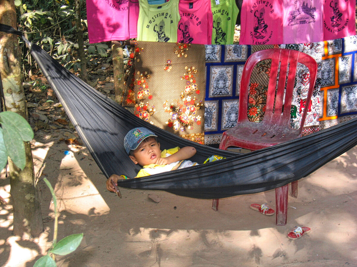
"Come back, bad chicken!"
(Download)
(Download)
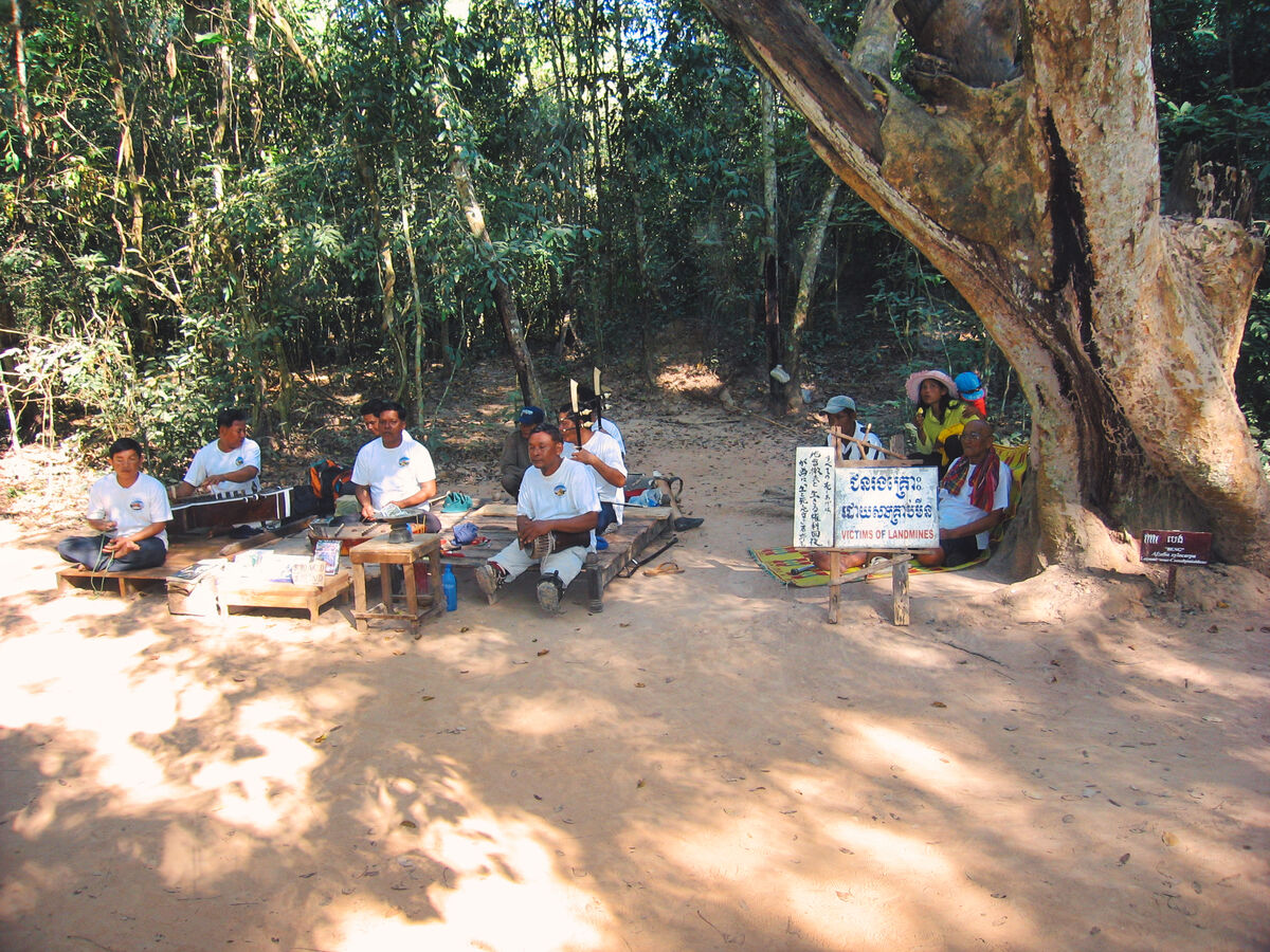
A reminder of the Khmer Rouge terror
(Download)
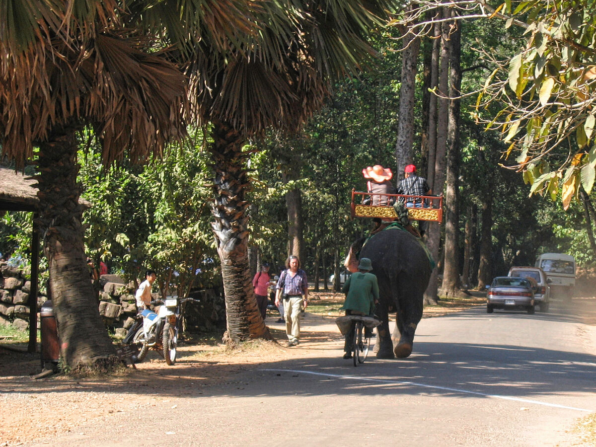
A popular tourist activity
(Download)
(Download)
(Download)
(Download)
Stopping for lunch
(Download)
Jan 25, 2023 13:59:30 #
Jan 25, 2023 14:04:30 #

Jan 25, 2023 14:07:26 #
Jan 25, 2023 14:10:35 #

More good tour with a great start and finish, Mark! Love that chicken in #3.
Jan 25, 2023 14:11:44 #

Great Photos, Have been there twice and your photos brought back memories.
Thank you!
Thank you!
Jan 25, 2023 14:21:50 #

Jan 25, 2023 14:37:08 #


Jan 25, 2023 14:40:55 #

Jan 25, 2023 14:57:38 #
Jan 25, 2023 18:16:07 #
UTMike wrote:
More good tour with a great start and finish, Mark! Love that chicken in #3.
Thanks very much Mike - trying to keep up with tradition. I liked the chicken as well. I would have loved to see the chicken in the hammock with the kid.
Jan 25, 2023 18:17:29 #
Reddog wrote:
Great Photos, Have been there twice and your photos brought back memories.
Thank you!
Thank you!
Thanks very much Reddog. Glad I could bring back pleasant memories.
Jan 25, 2023 18:17:53 #
Jan 25, 2023 18:18:17 #
Jan 25, 2023 18:18:40 #
If you want to reply, then register here. Registration is free and your account is created instantly, so you can post right away.