South America: Argentina - Puerto Blest and Lago Cantaros
Jan 26, 2022 15:22:26 #

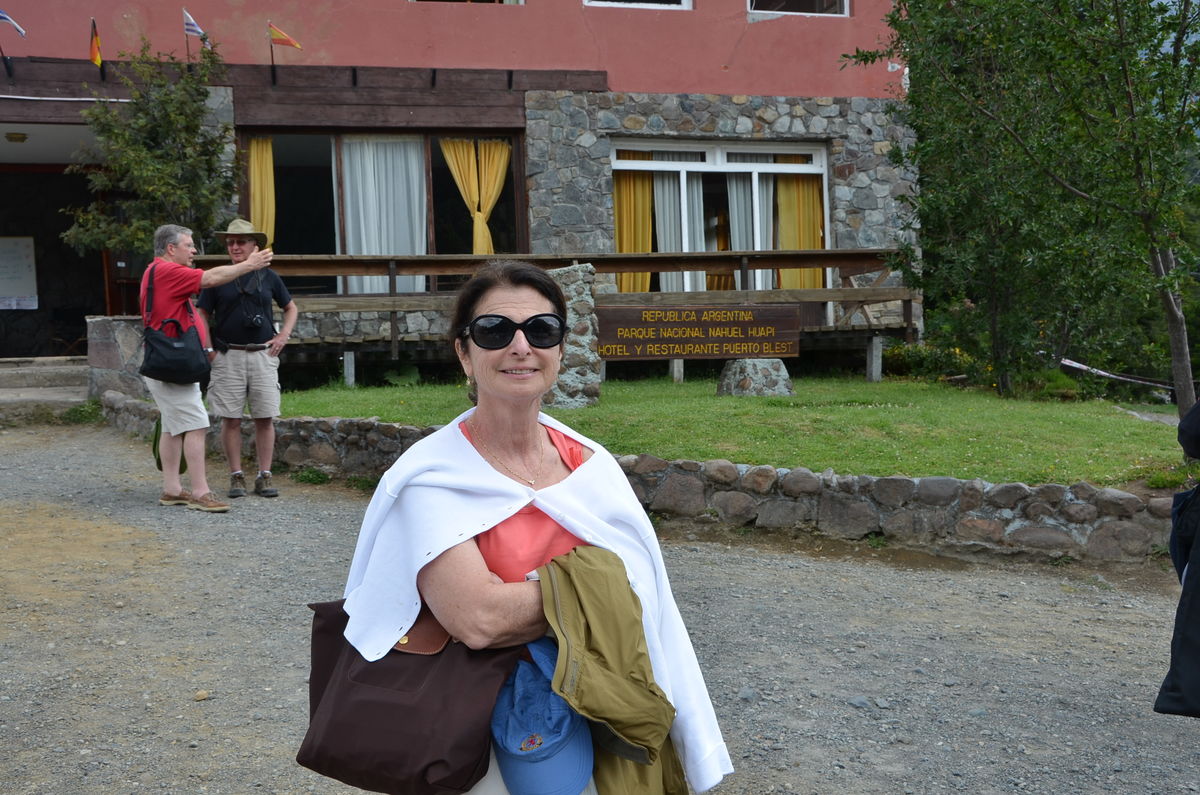
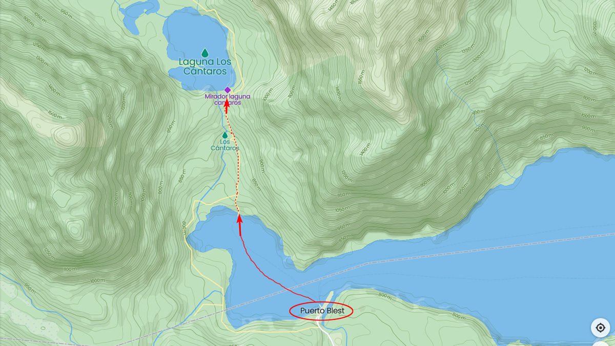
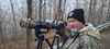
After our cruise on Lago Frias, we boarded a shuttle bus for the ride to Puerto Blest on Lake Nahuel Huapi. After lunch at the Puerto Blest Hotel, we boarded a boat to cross the Blest branch of Lake Nahuel Huapi to Puerto Cantaros. From there we hiked up the stepped boardwalk for views of Lago Cantaros and the Cantaros falls which will be the subject of my next few posts.
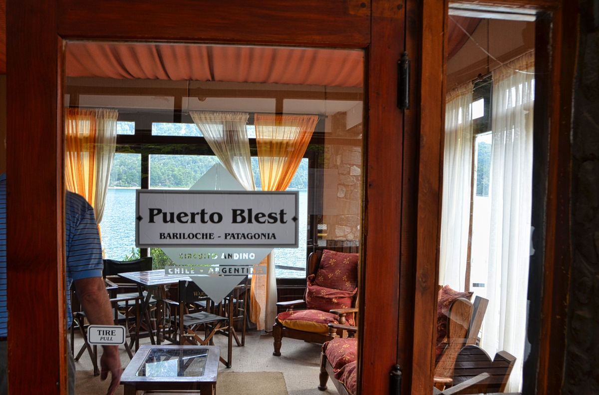
"Puerto Blest is a small port located on Lake Nahuel Huapi, at the end of the Blest Arm, in Río Negro Province in Argentina, located at the coordinates: 41 ° 01′27.16 ″ S 71 ° 48′49.80 ″ W. The port is located where the Frías river discharges into Lake Nahuel Huapi, within the Nahuel Huapi National Park at 808 meters above sea level and is part of a tourist path that connects the city of Bariloche with Lake Frías and the Cántaros waterfall.
Blest Port was named after Juan Blest, the first governor of the province of Llanquihue (Chile), from 1853 to 1856. This site is a strategic and unavoidable point for carrying out the international crossing of the lakes through the Vicente Rosales pass, at 978 meters.
Puerto Cántaros , located in Bahía Blest, is named after the expeditionaries Gómez and Geisse who in 1855, found remains of aboriginal pottery in the area. In an environment of full Valdivian Jungle, an ascent is made by a stepped path to Lake Los Cántaros , whose drainage feeds the homonymous waterfall of 852 meters above sea level, a small mirror of water that freezes in certain periods of the winter season. Some viewpoints on the trail allow you to contemplate the beauty of the waterfalls that slide over rock layers.
Los Cántaros waterfall is surrounded by three viewpoints that can be reached by a path. On this tour you can appreciate all the splendor and beauty of the native species of the Valdivian Forest: coihues, colihue canes, cypresses, taiques, lianas and vines. A few meters from its bank there is a large specimen of larch (Fitzjoya cupressoide), with more than 150 years of life."
https://www.patagonia.com.ar/San+Carlos+de+Bariloche/342_Puerto+Blest+y+lago+Fr%C3%ADas.html
I hope you enjoy these images. As always, downloads are best.
Mark
(Download)
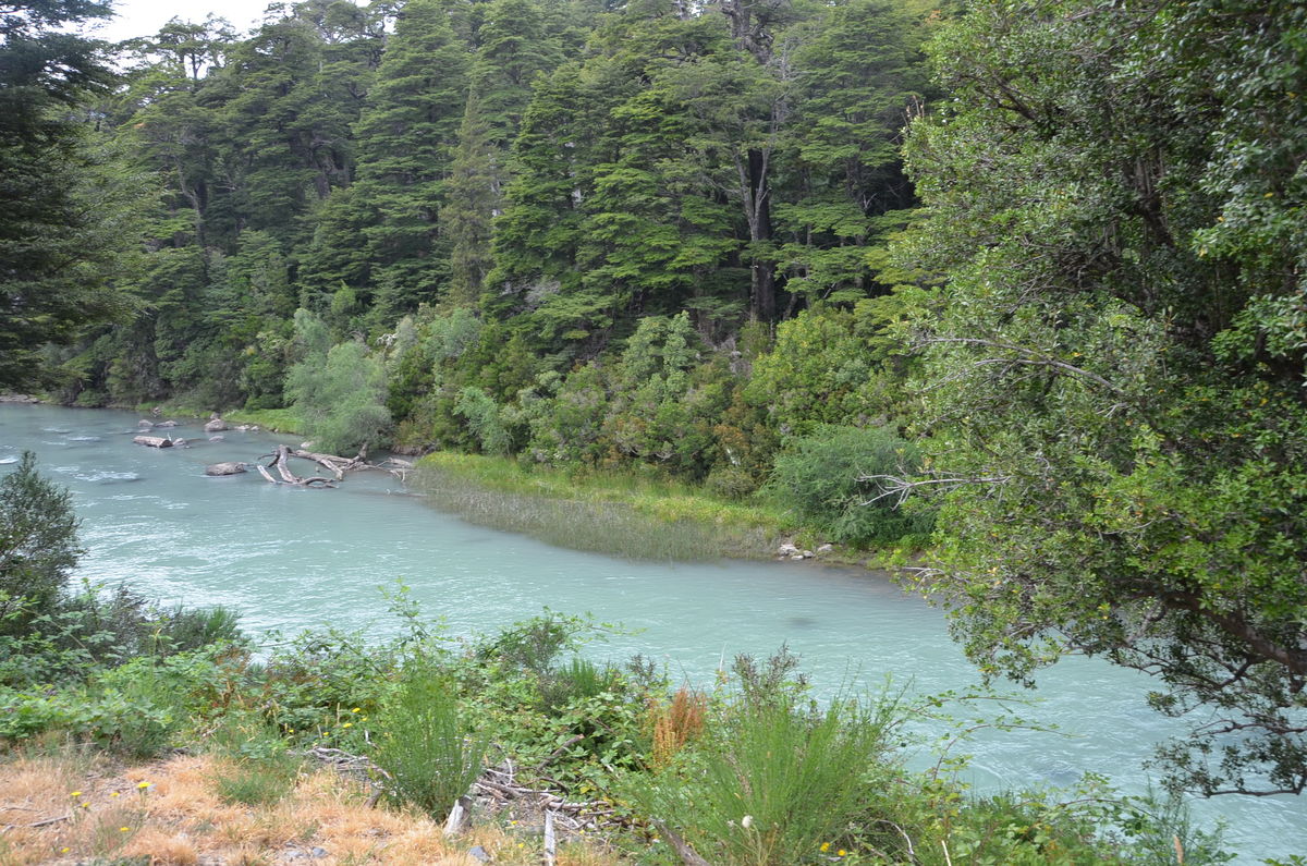
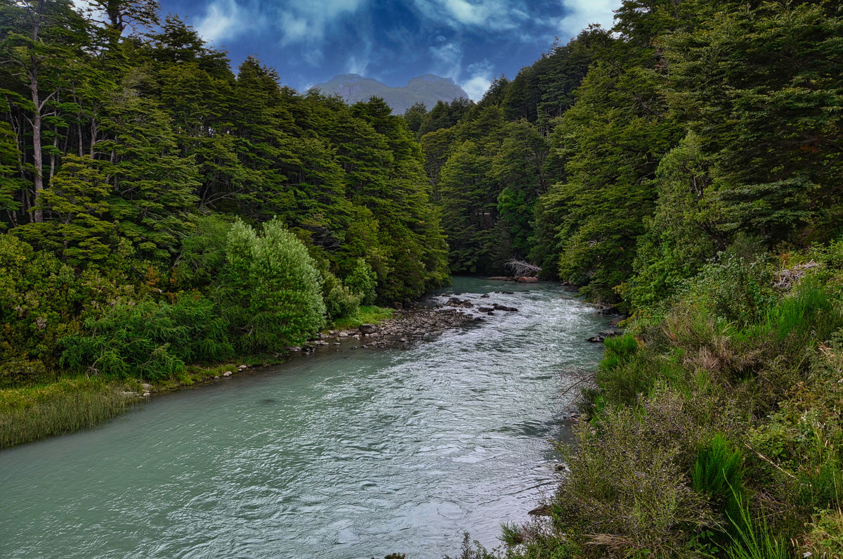
The Frias river which flows from Lago Frias to Lago Nahuel Huapi
(Download)
(Download)
(Download)
(Download)
(Download)
(Download)
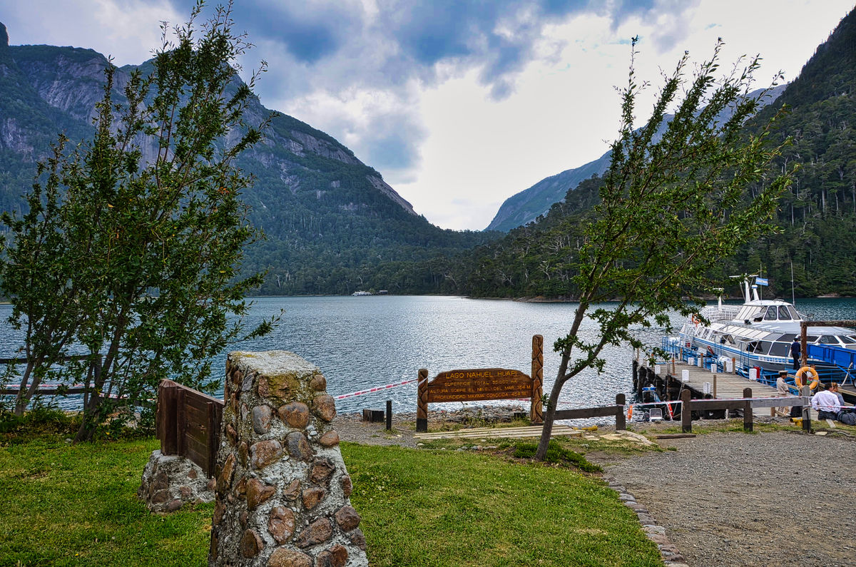
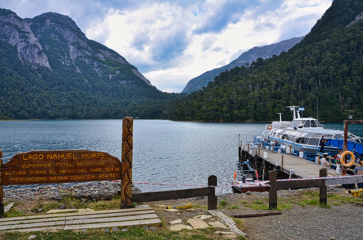
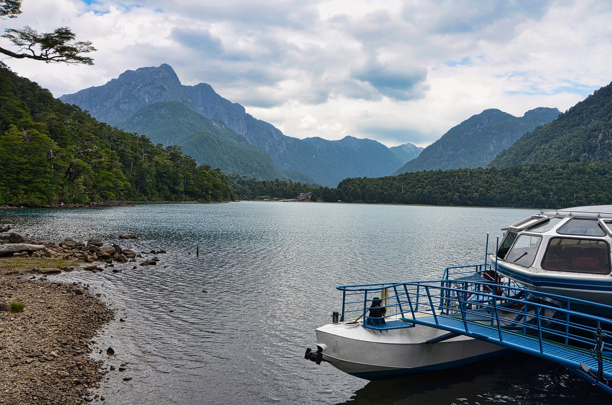
Approaching Puerto Cantaros
(Download)
From the dock at Puerto Cantaros with Puerto Blest in the background
(Download)
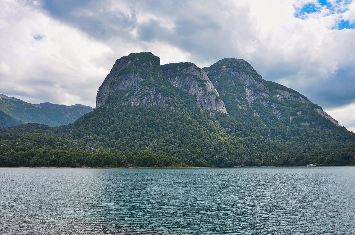
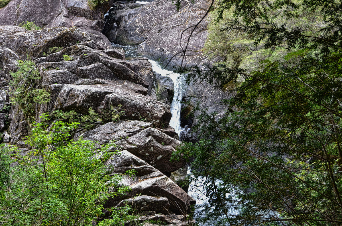
One of the many small waterfalls on the walk up to Lago Cantaros
(Download)
Jan 26, 2022 15:23:18 #
Jan 26, 2022 15:31:54 #

More of your beautiful tour, Mark! Of course, you started strong and had water involved.
Check out Wedding Photography section of our forum.
Jan 26, 2022 15:39:57 #

Jan 26, 2022 15:42:12 #
UTMike wrote:
More of your beautiful tour, Mark! Of course, you started strong and had water involved.
Thanks so much Mike. I heeded your sage advice and will continue with a strong start whenever I can!
Jan 26, 2022 15:42:37 #
Jan 26, 2022 15:43:55 #

Check out Advice from the Pros section of our forum.
Jan 26, 2022 17:13:58 #

Jan 26, 2022 18:36:15 #
angler wrote:
I really enjoyed this one Mark excellent set.
Thanks very much Jim. I'm so pleased that you enjoyed them.
Jan 26, 2022 18:37:23 #
NMGal wrote:
Enjoyed them all, especially number 5.
Thanks very much Barbara. I like that one as well.
Jan 26, 2022 19:28:10 #
Check out Street Photography section of our forum.
Jan 26, 2022 19:38:02 #
Jan 27, 2022 01:38:54 #

srfmhg wrote:
After our cruise on Lago Frias, we boarded a shutt... (show quote)
Another excellent set Mark. I note the color of the water from the glacial silt, like what you see in the Canadian Rockies.
Jan 27, 2022 01:59:29 #
DJphoto wrote:
Another excellent set Mark. I note the color of the water from the glacial silt, like what you see in the Canadian Rockies.
Thanks very much Dennis. We saw that aqua color of the water in Switzerland and also in southern Patagonia from glacial melt.
Jan 27, 2022 05:11:56 #
If you want to reply, then register here. Registration is free and your account is created instantly, so you can post right away.
Check out Landscape Photography section of our forum.