Walks on Bribie Island, Queensland, Australia
Aug 15, 2021 07:19:15 #
Bribie Island is the smallest and most northerly of three major sand islands forming the coastline sheltering the northern part of Moreton Bay, Queensland, Australia. The others are Moreton Island and North Stradbroke Island. Bribie Island is 34 kilometres (21 miles) long, and 8 kilometres (5.0 miles) at its widest. Archibald Meston believed that the name of the island came from a corruption of a mainland word for it, Boorabee meaning 'koala'. However, the correct Joondaburri name for the island is in fact Yarun.
Bribie Island, north of the State capital of Brisbane, hugs the coastline and tapers to a long spit at its most northern point near Caloundra, and is separated from the mainland by Pumicestone Passage. The ocean side of the island is somewhat sheltered from prevailing winds by Moreton Island and associated sand banks and has only a small surf break. The lee side is calm, with white sandy beaches in the south.
Most of the island is uninhabited national park (55.8 square kilometres or 21.5 square miles) and forestry plantations. The southern end of the island has been intensively urbanised as part of the Moreton Bay Region, the main suburbs being Bongaree, Woorim, Bellara and Banksia Beach. A bridge from Sandstone Point on the mainland to Bellara and Bongaree was completed in 1963.
Buckley's Hole, at the southern tip of the island, is an important bird habitat and refuge.
We've been staying here in our RV on the Island for the last couple of weeks enjoying the mild/warm winter climate with 20 - 25 degrees daytime & 10 - 15 at night. Home in Tasmania there has been temps of 1 - 14 degrees - I'm not homesick as yet :)
Various pics with various cameras at various places. Please enjoy the downloads.
Looking northwards - towards the bridge and the Glasshouse Mountains in the far distance.
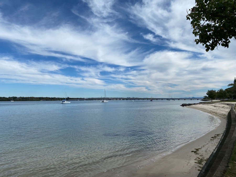
(Download)
Sunset also looking north and a bit west
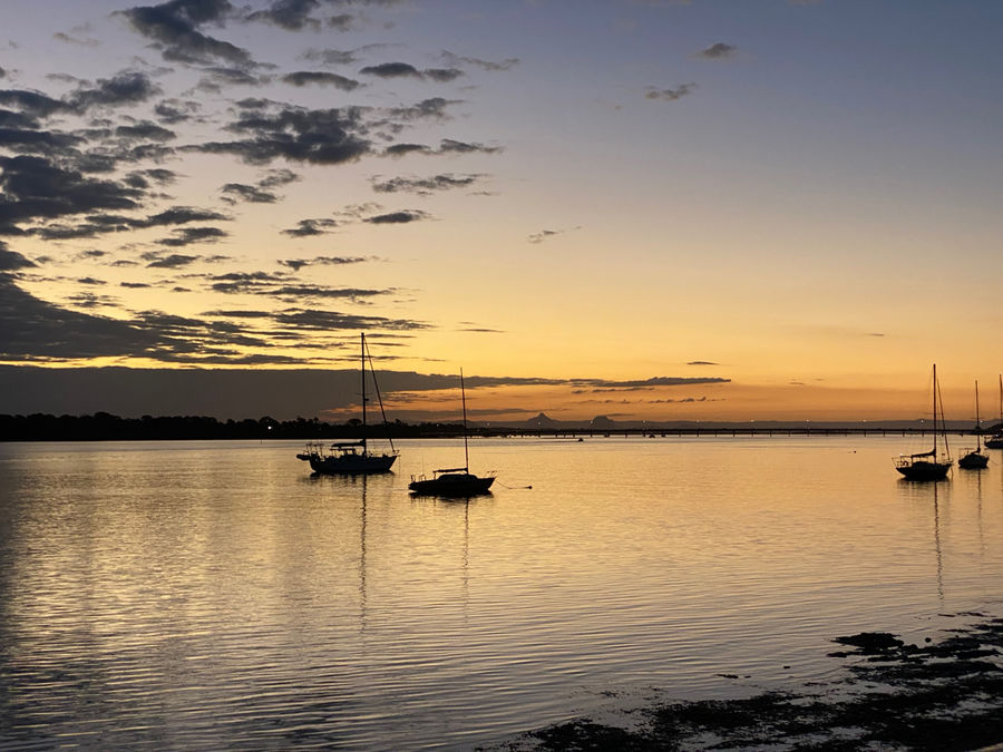
(Download)
Ibis nest with Mum, Dad & hungry kiddies. Found these through the noise they were making.
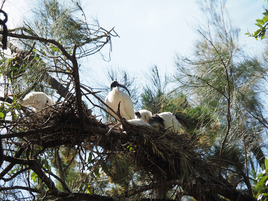
(Download)
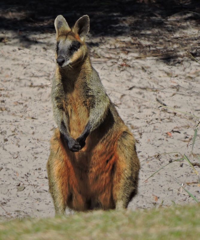
Wallaby keeping watch
(Download)
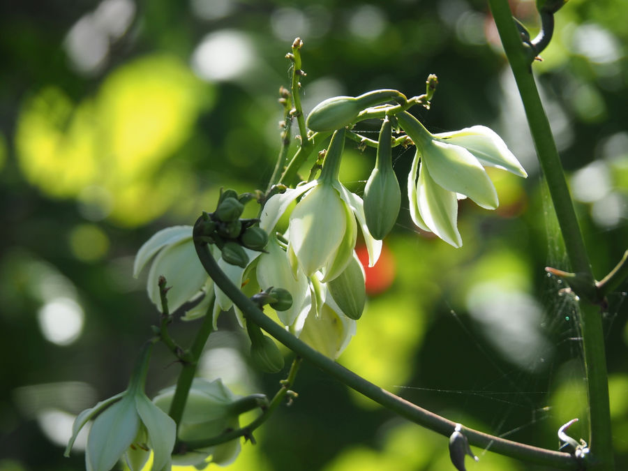
Flowers?
(Download)
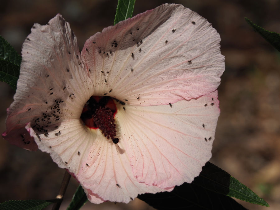
Flower with Ants.
(Download)
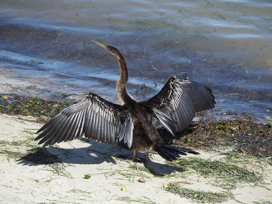
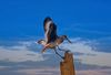
Comorant with everything hanging out to dry
(Download)
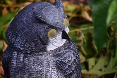
Alien Starship blotting out the Sun
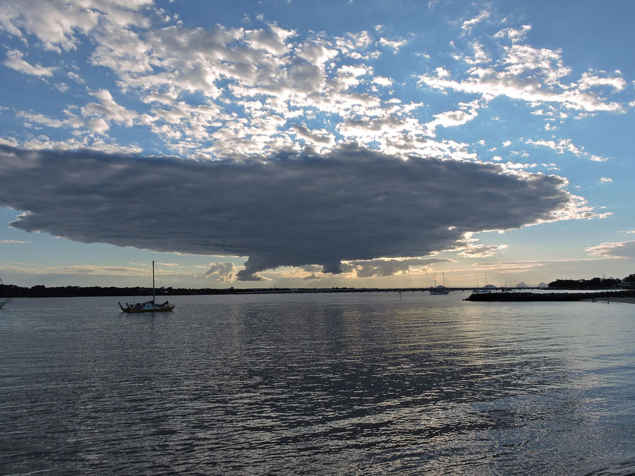
(Download)
Aug 15, 2021 07:26:34 #
Aug 15, 2021 07:53:00 #

Great geography lesson, wonderful images, and an appreciated gesture. Enjoy the coming sunrise.
Aug 15, 2021 07:55:09 #

Aug 15, 2021 08:17:34 #

JohnR wrote:
Bribie Island is the smallest and most northerly o... (show quote)
I enjoyed the cormorant, flowers and mother ship.

Aug 15, 2021 08:34:37 #
Aug 15, 2021 08:40:46 #
Joe71
Loc: Winter Garden, Central Florida
I think your Cormorant is what Australians call a Darter, and here in FL is an Anhinga. A Cormorant has a slightly hooked beak. I especially liked the wallaby pic.
Aug 15, 2021 08:44:18 #


Aug 15, 2021 09:48:38 #

Aug 15, 2021 10:17:13 #

Aug 15, 2021 11:45:35 #
Aug 15, 2021 13:55:22 #

Aug 15, 2021 15:06:52 #

JohnR wrote:
Bribie Island is the smallest and most northerly o... (show quote)
Stunningly beautiful captures
🌈☀️❤️☀️🌈
Aug 16, 2021 05:55:13 #
Aug 16, 2021 05:56:17 #
CanonShot wrote:
Great geography lesson, wonderful images, and an appreciated gesture. Enjoy the coming sunrise.
Glad you enjoyed. Thanks for looking.
If you want to reply, then register here. Registration is free and your account is created instantly, so you can post right away.