Cruising around and through Europe Part 56: Lake Como part 8, Switzerland part 1
Apr 28, 2024 09:47:52 #
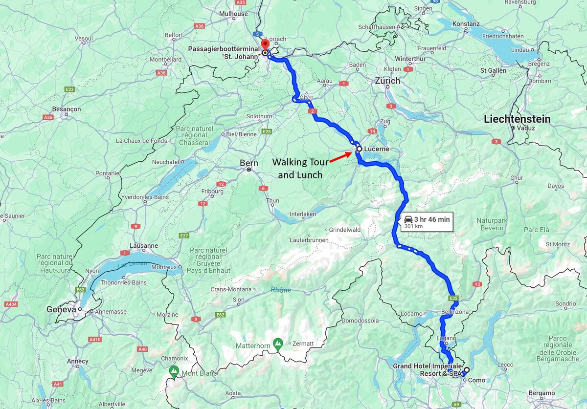
We returned to our hotel at the end of our final full day at Lake Como and in Italy. We had a delicious dinner in the hotel dining room and then got ready for the next part of our adventure. We left the next morning for a drive across Switzerland to Basel and our Rhine River cruise to Amsterdam. Note that The Swiss border is only about 5km (~3 miles) from the Como ferry terminal and Basel is about the same distance from the German border with Switzerland. See the map below for our route that took us past Lake Lugano and a lunch stop and tour of Lucerne.
After about another hour of driving and enjoying some beautiful Swiss scenery, we drove through the Gotthard Tunnel. The Gotthard Road Tunnel is 16.9 km (10.5 mi) in length below the St Gotthard Pass, a major pass of the Alps. At time of construction, in 1980, it was the longest road tunnel in the world; it is currently the fifth longest. Although it is a motorway tunnel, part of the A2 from Basel to Chiasso, it consists of only one bidirectional tube with two lanes. With a maximum elevation of 1,175 metres (3,855 ft) at the tunnel's highest point, the A2 motorway has the lowest maximum elevation of any direct north-south road through the Alps. The tunnel rises from the northern portal at Göschenen (1,080 m (3,540 ft)) and the culminating point is reached after approximately 8 km (5.0 mi). After 10.3 kilometres (6.4 mi) from the northern portal there is the border between the cantons of Uri and Ticino; after another 6.7 km (4.2 mi), the tunnel ends at the southern portal near Airolo (1,146 m (3,760 ft)). The journey takes about 13 minutes by car, the maximum speed being 80 km/h (50 mph). The Gotthard Road Tunnel is one of the three tunnels that connect the Swiss Plateau to southern Switzerland and run under the Gotthard Massif, the two others being railway tunnels. All three tunnels bypass the Gotthard Pass, an important trade route since the 13th century.
My previous post can be found at https://www.uglyhedgehog.com/t-805858-1.html, while the first post of this series (that includes a map of all of the places where we stopped) can be found at https://www.uglyhedgehog.com/t-801137-1.html
Next up: More of our drive across Switzerland, with a stop in Lucerne
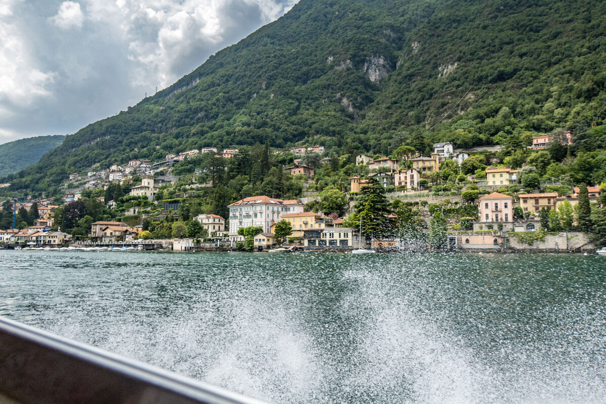
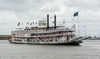
Cruising back to our hotel
(Download)
Our trip back to the hotel was at a higher speed than out cruise around the lake to Bellagio
(Download)
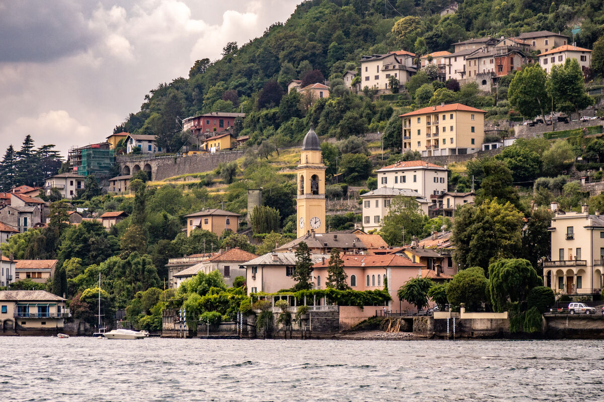
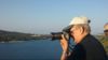
I took this on our short walk before our final dinner in Italy, after two wonderful weeks in this beautiful country
(Download)
From Lake Como to Basel
(Download)
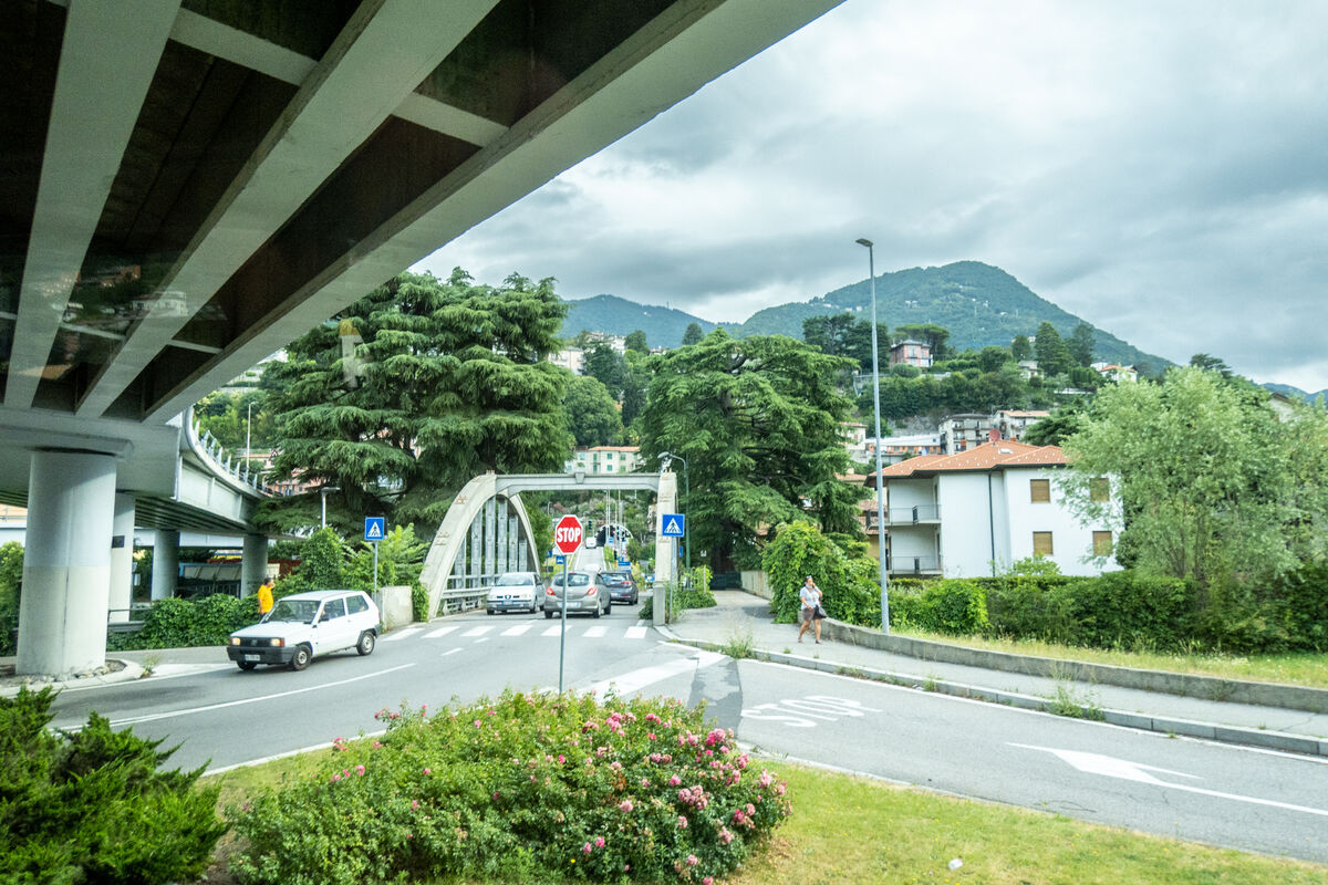
Near the Swiss border
(Download)
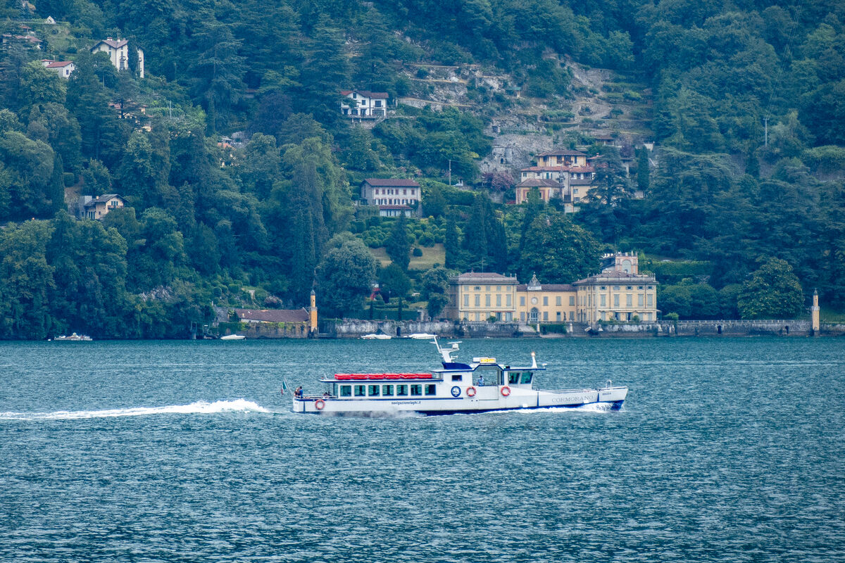
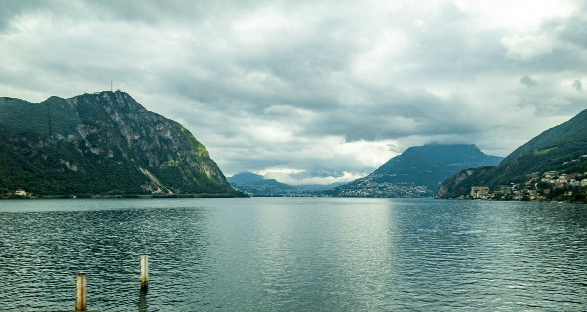
Lake Lugano near Capolago
(Download)
(Download)
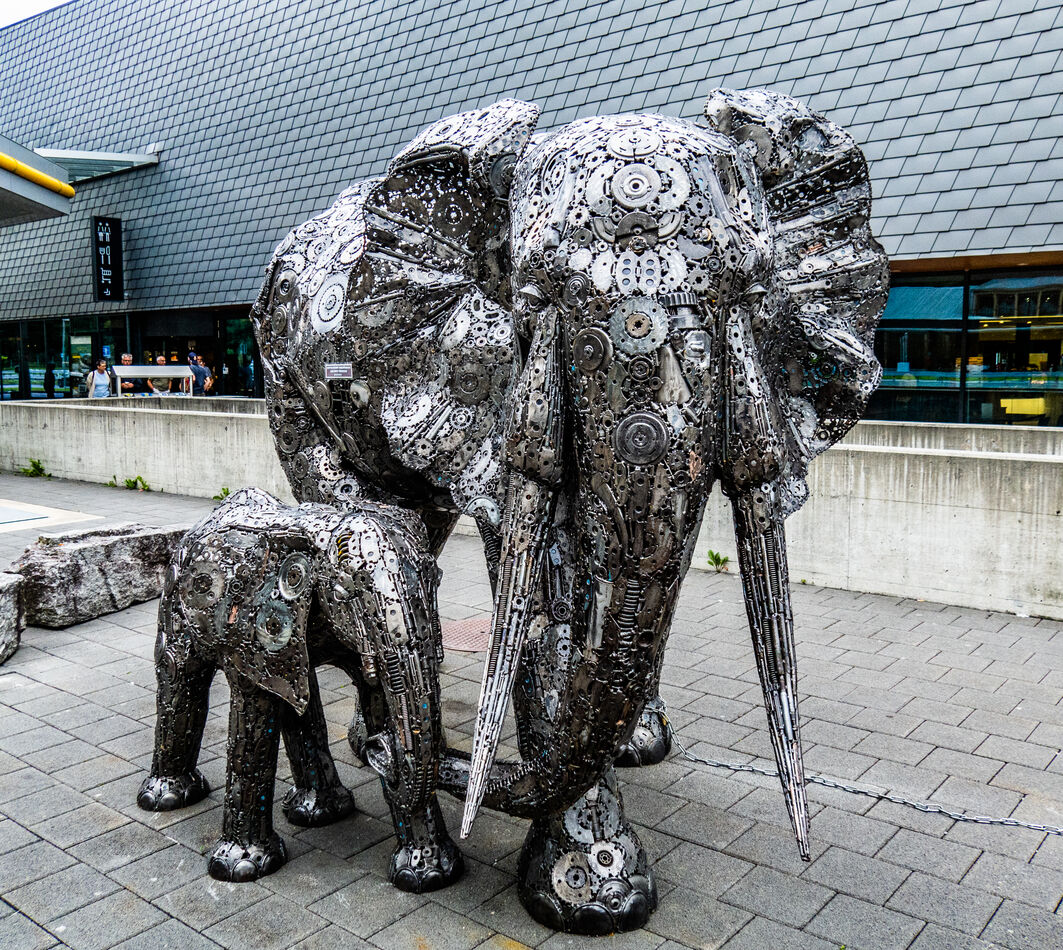
We stopped for a short break at a fuel and rest stop after the tunnel that had a couple of interesting metal sculptures
(Download)

(Download)
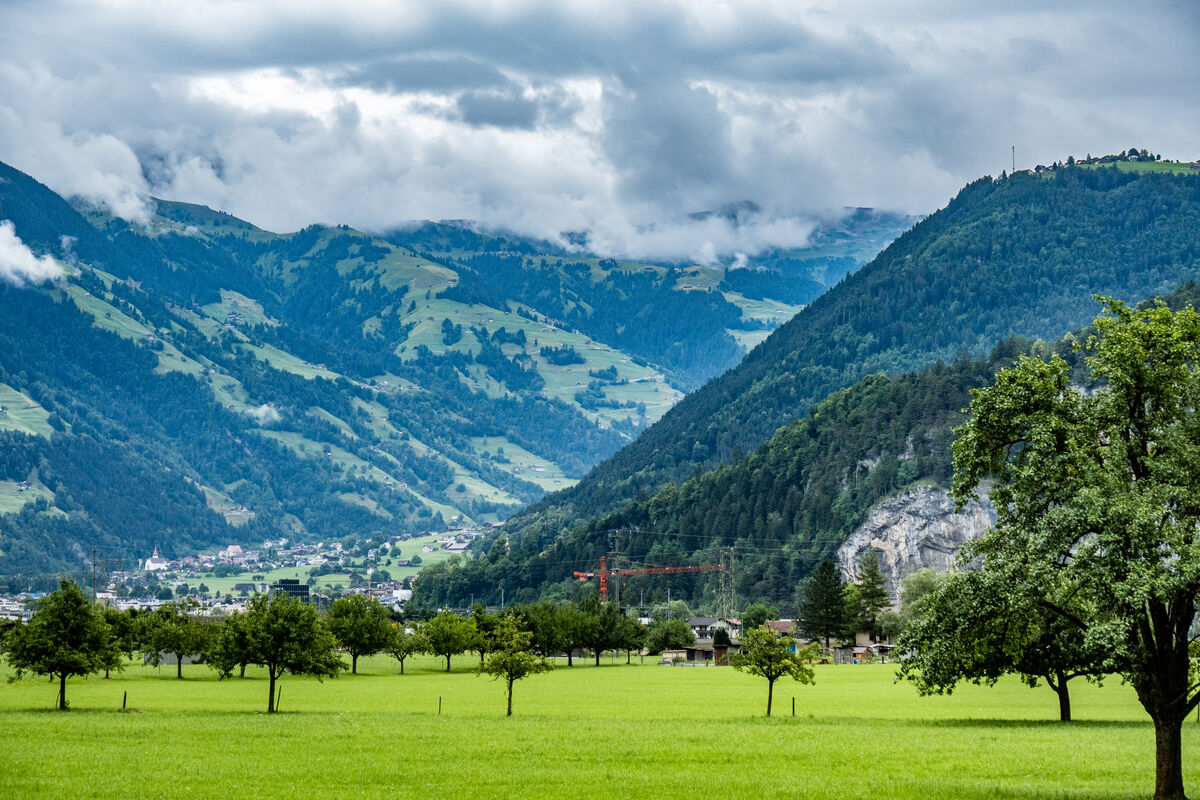
The view from the fuel/rest stop
(Download)
Apr 28, 2024 10:35:47 #

Apr 28, 2024 10:49:16 #
Apr 28, 2024 11:08:11 #


Apr 28, 2024 13:10:03 #
NMGal wrote:
Beautiful!
Thank you NMGal; Switzerland is beautiful, but we only had one day there on the drive through it. We spent 5 days in Switzerland in 1973 and plan to visit it in the future.
Apr 28, 2024 13:10:31 #
Earnest Botello wrote:
Great scenic series, Dennis.
Thank you Earnest; much more to come.
Apr 28, 2024 13:10:50 #
Apr 28, 2024 17:48:55 #
DJphoto wrote:
We returned to our hotel at the end of our final f... (show quote)
Great dreamscape shooting 🏆🏆🏆🏆
Apr 28, 2024 18:43:00 #

Apr 28, 2024 19:15:16 #
Fine work Dennis. Did you have any problems driving around to different countries? Are roads clearly marked, or any signs in english?
Don
Don
Apr 28, 2024 20:25:12 #
Apr 28, 2024 20:42:18 #
joecichjr wrote:
Great dreamscape shooting 🏆🏆🏆🏆
Thank you very much Joe, I really appreciate it.
Apr 28, 2024 20:43:58 #
srfmhg wrote:
Another beautiful set Dennis!
Thanks Mark, I'm not the master of the from the tour bus photos that you are, but I'm working on it.
Apr 28, 2024 20:54:45 #
PAR4DCR wrote:
Fine work Dennis. Did you have any problems driving around to different countries? Are roads clearly marked, or any signs in english?
Don
Don
Thank you Don. So far, I've only driven in Italy and San Marino (a tiny country, completely surrounded by Italy). All of the signs are in Italian or use symbology to indicate what to do. I spent some time reviewing road sign meanings before we left home and didn't have any real problems. A good GPS makes a big difference, and the one in our rental car was excellent. I did a little navigation using my Samsung Android phone's GPS and it was also good; we also used it to navigate on foot in many cities. Of course you need a European data plan, which was easy with AT&T as our provider. You need an international driving permit to drive and you have to get it before you leave the U.S. I got mine at my local AAA office and they are good for a year. I drove for one day in Sweden in 1973, but we had a Swedish friend with us (it was her parent's car).
Apr 28, 2024 20:55:15 #
If you want to reply, then register here. Registration is free and your account is created instantly, so you can post right away.