Sand, Rocks, Curves and Water in Death Valley
Jul 31, 2019 03:14:56 #
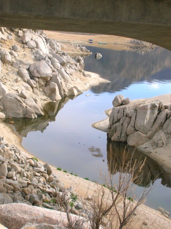
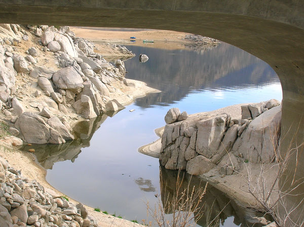
These were taken a few years back with an early Nikon E4600 P&S in Death Valley near Badwater. I did not see the boat and SUV until I got home and transferred the files to the computer. The upper structure is a foot bridge the leads out a salt flat.
Jul 31, 2019 05:30:22 #

Jul 31, 2019 05:52:17 #
Jul 31, 2019 07:48:18 #


Jul 31, 2019 11:59:00 #
Additional info about Badwater:
Badwater Basin is an endorheic basin in Death Valley National Park, Death Valley, Inyo County, California, noted as the lowest point in North America, with a depth of 282 ft (86 m) below sea level.[1] Mount Whitney, the highest point in the contiguous 48 United States, is only 84.6 miles (136 km) to the northwest.[2]
The site itself consists of a small spring-fed pool of "bad water" next to the road in a sink; the accumulated salts of the surrounding basin make it undrinkable, thus giving it the name. The pool does have animal and plant life, including pickleweed, aquatic insects, and the Badwater snail.
Adjacent to the pool, where water is not always present at the surface, repeated freeze–thaw and evaporation cycles gradually push the thin salt crust into hexagonal honeycomb shapes.
The pool is not the lowest point of the basin: the lowest point (which is only slightly lower) is several miles to the west and varies in position, depending on rainfall and evaporation patterns. The salt flats are hazardous to traverse (in many cases being only a thin white crust over mud), and so the sign marking the low point is at the pool instead.
Jul 31, 2019 12:00:22 #
AzShooter1 wrote:
I like them. Was that standing water or after a rain?
Spring fed pool per Wiki.
Jul 31, 2019 12:01:12 #
JoAnneK01 wrote:
Beautiful scene. Have same ? as AzShooter1. Mahalo for sharing.
Spring fed pool per Wiki...........
Aug 1, 2019 12:28:05 #

Aug 15, 2019 12:50:31 #

If you want to reply, then register here. Registration is free and your account is created instantly, so you can post right away.